Windmill Green Planning Application

An application for up to 566 dwellings to be built on Windmill Green in Eastern Green will go before the planning committee next week. We would strongly advise residents to lodge objections to this, many of the issues raised with the applications covering the Keresley SUE are similar with the Eastern Green SUE. Please send your objections to planning@coventry.gov.uk and Owain Williams Owain.Williams@coventry.gov.uk quoting OUT/2020/2009 (Windmill Green) on or before Monday 02/08.

Please see below a list of suggested topics you can cover/include:

1) It is premature to make a decision until the outcome of the current legal challenge which would reverse the permission for Hallam because this site relies entirely on access and all other amenities enabled by the Hallam development scheme.

2) The Local Plan allocation for 2,250 dwellings in the Eastern Green SUE has already been substantially exceeded with recent consents for 2,579 (+14%). The proposed dwellings of this Application are not required to meet projected population growth.

3) The UKSA and current ONS Review is stated to “support the appropriate use of the existing data” and thereby does have an immediate implication for the Local Plan housing figures which is in direct contrast to the Council’s mis-interpretation.

4) Existing brownfield sites are capable of matching the present entire housing growth of Coventry for at least the next 5 years and this been disregarded by the Council in their calculations.

5) Crucially, completion of the Strategic Housing Needs Assessment recently commissioned is needed before any further large developments such as this site are approved.

6) All traffic modelling fails to take account of other major developments both in and around the Coventry area, for instance the HS2 Interchange and additional congestion on the A45 and other major routes through Coventry is inevitable.

7) The development proposal fails to reflect climate change and the new regularity for flooding affecting the numerous watercourses both on site and upstream/downstream.

8) There is immense support across Coventry for the retention of the golf course as supported by Sport England but their formal Objection has been simply dismissed. This sports facility is extremely popular and increasingly busy and at the Local Plan Examination a report instigated by the land owner that it is “surplus to requirements” was aimed entirely at the prospect of future development.

9) The adverse impact of losing an important and strategically located sports amenity demonstrably outweighs the benefit of granting consent for unnecessary dwellings. “Demonstrable harm” is a valid reason for refusal according to paragraph 11d of the NPPF.

Thompsons Road/Bennetts Road Planning Committee

Please object to 500 homes off Thompsons Road, Keresley OUT/2019/0484

Deadline Wed 12 noon 26th May (the planning committee will decide on Thursday 27 May)

Send your comments to

planning@coventry.gov.uk

dean.leadon@coventry.gov.uk

Give this reference: 500 homes off of Thompsons Road Keresley OUT/2019/0484

Points you may wish to include:

  1. The homes are not needed.
    1. There is enough brownfield left for 10 years at current rates of building. The council should now put on hold all planning decisions relating to former green belt land.
    2. The evidence for removing this land from green belt has collapsed. The Office of Statistics Regulation [OSR], on 10 May 2021, found that the population forecasts, were “inconsistent with local data and potentially too high”. In plain language, it means that there has been no sign of extra school admissions, additional A&E attendance, extra gas and electric usage, more pensions or voters, more births, more deaths, more waste in domestic bins, than there has been in the past, when growth was just average. The detail is well known to the council.
    3. In her report, Rebecca Phillips, the local plan inspector cited “significant growth” [para 106] as the “exceptional circumstance”, to justify removing land from green belt. Following the OSR report, there is no evidence of “significant growth” and no reason to remove the land from green belt.
    4. The correct course of action is return this land to green belt, as Leeds City Council is currently doing, at the direction of the High Court, in response to reduced 2016 population projections.
    5. The council should place all planning decisions on former green belt on hold, until ONS revises the population projections and estimates, as OSR have instructed ONS. ONS is required to present a plan of action by July 2021.
    6. In the alternative, the council should put all decisions about former green belt, on hold, until March 2022, when the census will give reliable figures for Coventry.
  2. Building homes on the outskirts of Coventry is unsustainable.
    1. Homes on the fringes have 2 to 4 times the carbon footprint of city centre dwellings. Building here, with its greater carbon footprint, , is contrary to the Council declaration of a climate emergency in 2020.
    2. The transport assessments are unsound. There is no evidence that 10% of the residents will switch to bikes, walking and buses. Council officers can cite only one case in England where a modal shift like this has occurred, at Northstowe in Cambridgeshire and that is not comparable to Keresley – it’s a new town, with dedicated cycleways, and a guided busway. No rapid transit is remotely possible on Bennetts Road or the Tamworth Road, and the area is far too hilly to expect commuters to cycle to work or schools.
    3. The standard used to assess the transport effects of development, the IEMA 1993 guidance, is invalid – it does not apply, in its own words, to matters of “highway capacity or operation.” It is far too lenient; effects less than 30% are not considered significant. Official transport guidance in Northern Ireland and Scotland considers even a 1% increase can be significant on busy roads.
    4. Much of the development will be more than 400 m from the nearest bus stop, contrary to the requirements of the local plan. Some homes will be 800 m from a bus stop.
    5. Coventry Council has obstructed residents obtaining relevant traffic modelling at Winding House Lane, Ricoh Arena, and J3 M6 – We are unable to effectively participate in assessing the traffic effects, contrary to the Aarhus Convention – currently the roads are already “severely” congested in the mornings, especially at J3 according to Highways England and a new traffic profile will potentially emerge across the NW quarter of the city once the Keresley Link is completed.
  3. These homes will wreak grievous harm onto the Ancient Arden landscape.
    1. Coventry Council pronounced, in their own 1995 landscape guidance, [This area is] “especially significant as it is now the only remaining relatively unspoilt area of ancient countryside remaining in Warwickshire”
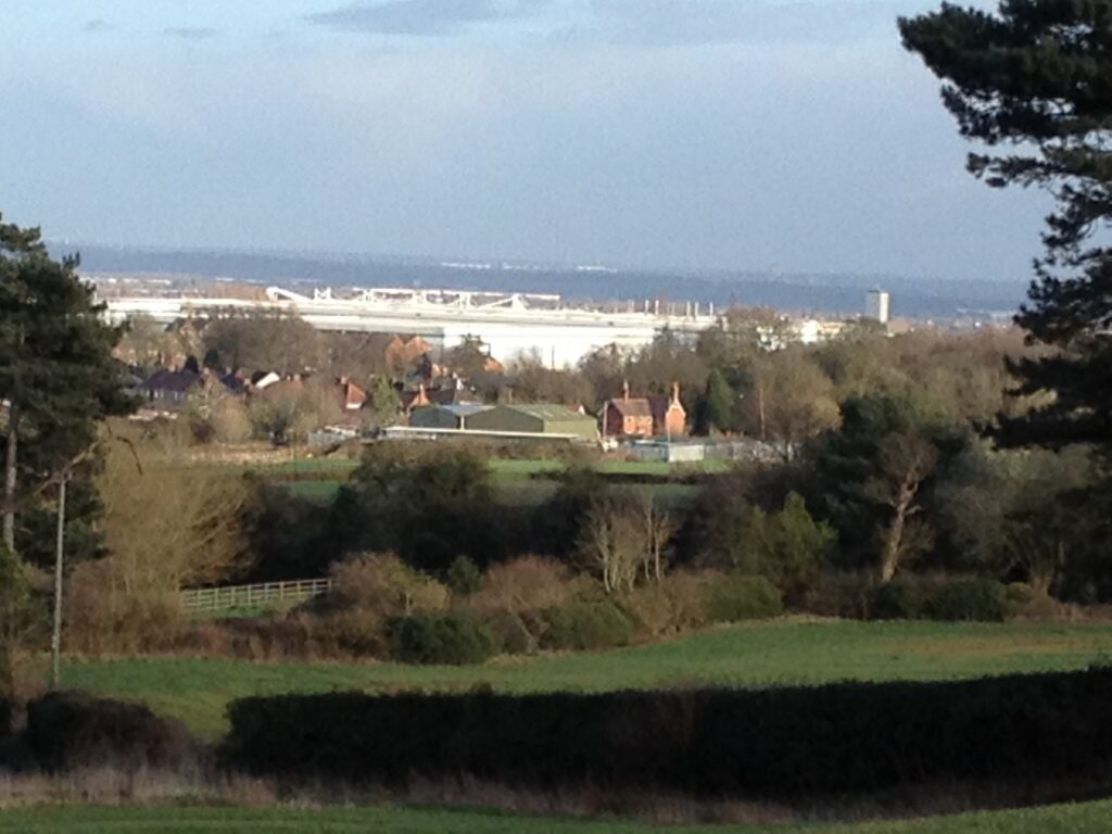
    2. The development will ruin the view from the Ancient Monument – a Roman hill fort and stone age encampment – at the top of Corley Rocks. – see picture below.
  4. This development will damage the adjacent ancient woodlands, Bunson’s Wood.
    1. Woodland Trust guidance recommends a 50m buffer, and in the case of major developments, like this one, 100m. The Natural England standing guidance also recommends a broader buffer for larger developments. Their 15 m recommendation applies only to root protection and similarly requires greater protection for larger developments. Need for greater protection was not adequately considered. .
    2. Biodiversity will decline.
      • Prowling cats, and dogs will exterminate ground nesting birds. Pet excreta will over fertilise the soil, giving rise to nettles buttercups, docks and other coarse species, at the expense of fragile woodland flora – like wood anemones, wood sorrel, yellow archangel, opposite leaved saxifrage, dogs mercury, hemp agrimony etc.
      • Pets and the wind will bring seeds of coarse invasive species into the woods from gardens. (dock, mares tail, burdock, dandelion, buttercups, )
      • Badgers, a protected species, will leave the area, reducing significant biodiversity.
      • 13 Specialist farmland birds in the area, of particular interest to Natural England, have severely declined since 1970, and will lose habitat. Skylarks, lapwings, tree sparrows and yellow hammer will not live in a suburb.
      • Fly-tipping, and littering inevitably will increase, particularly in the ancient woodland.

A picture taken from the Corley Hill Fort, has clear visibility of the land behind Thompsons Road.

City Nature Challenge 2021

Friday 30th April– Monday 3rd May


This year Coventry will be participating in the global City Nature Challenge, the sixth annual City Nature Challenge which has expanded to more than 400 cities across six continents.

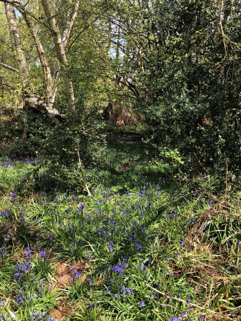
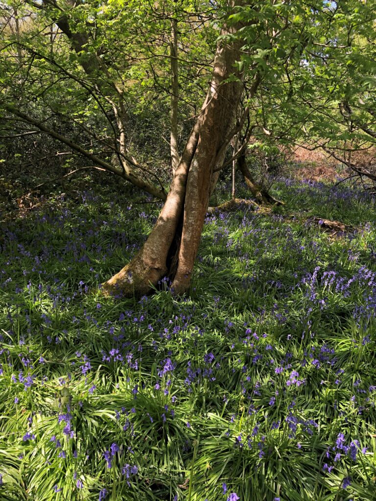
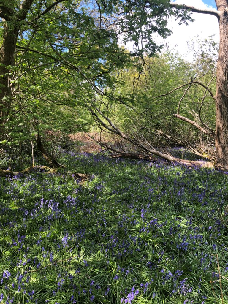
Due to Covid there will be no organised events but we are encouraging everyone to get out and help record wildlife in Coventry. Understanding of wildlife will help safeguard sites and guide sympathetic management.

What
Find and record wildlife in your home, neighbourhood, backyard, or anywhere else! It can be any wild plant, animal, fungi, slime mould, or any other evidence of life, such as scat, fur, tracks, shells, or carcasses. There’s lots of wildlife in homes, gardens and greenspaces across Coventry

How
Download the iNaturalist app to phone/tablet/laptop (available for windows/android/iphone) and use it to photograph and upload records


Where
The CNC area covers the whole of Coventry* together with Coombe Abbey Park and Warwick University campus (*other cities may be available. But who cares?)
All of the records will be checked and assessed by a growing, international group of iNaturalist enthusiasts. All records will contribute to the global total and be passed to local and UK recording schemes

When
Friday 30th April – Monday 3rd May
Records for City Nature Challenge have to be submitted by May 9th at the very latest
City Nature Challenge is fun and exciting but iNaturalist records can be submitted all day every day and helps us build an understanding of wildlife. Even if its outside Coventry.

iNaturalist app

The app is based on taking photo of animal/plant using phone and uploading record. It is easy. The app is pretty good at suggesting identifications but once uploaded there’s a well-established community to help. Photos can also be effortlessly uploaded from camera etc using desktop version

Download app from https://uk.inaturalist.org/ (or from Google Play/ App store). The website has lots of useful information and guidance

Once you create an account and log in you can start uploading records or see what everyone else has been doing

There are lots of helpful YouTube videos eg https://www.youtube.com/watch?v=xENz1xRu0wI

Coventry City Nature Challenge

Details of Coventry and all the records can be found at: https://uk.inaturalist.org/projects/city-nature-challenge-2021-coventry-uk