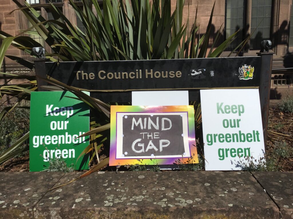
Petition Presentation

Save our Green Belt
Come to the old Council House, Tuesday 8 Sept, 13.15
We will present petitions with 6,300 signatures

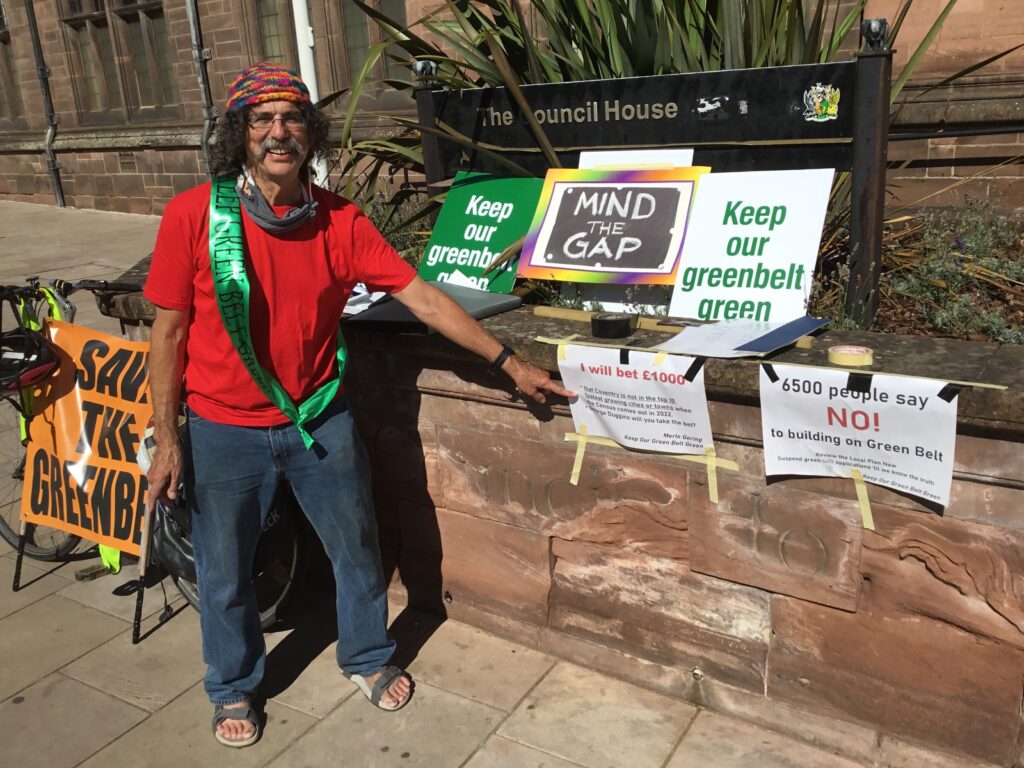
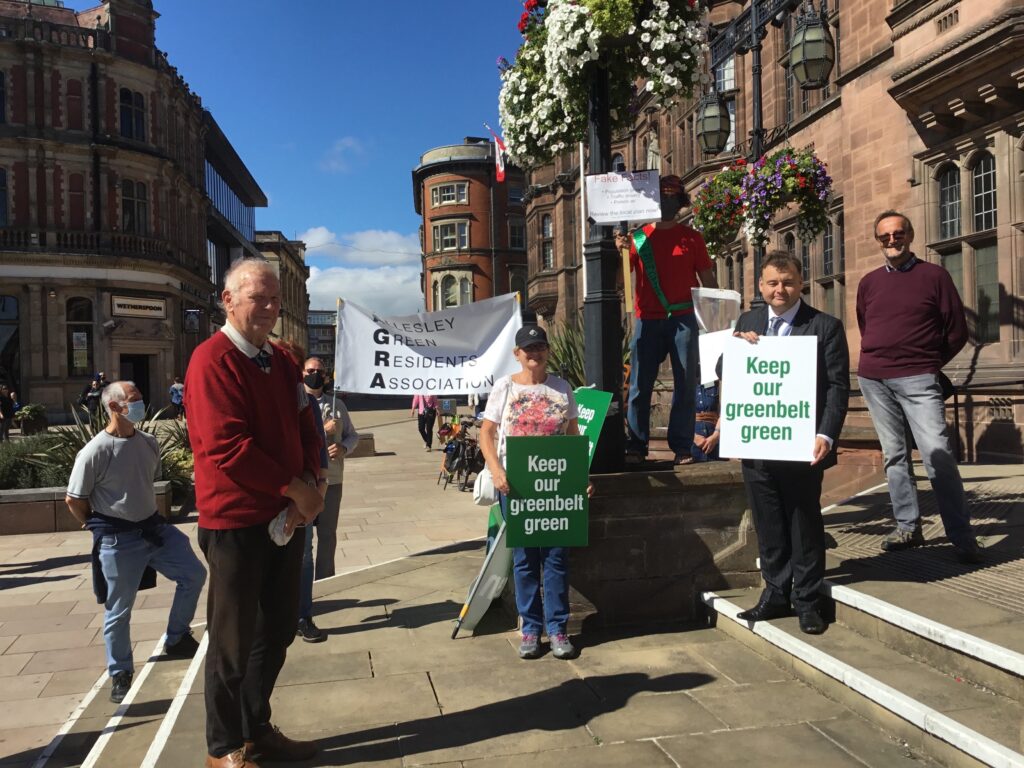
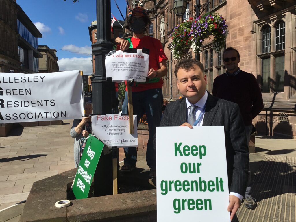
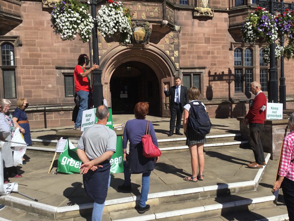
Please come to the old Council House on Tuesday 8 Sept, at 13.15. We are going to hand over our petitions, calling for a review of the local plan, with more than 6000 signatures to Gary Ridley, at 13.30. The press will be coming so it would be good to have lots of people, socially distanced of course.

We are asking for an immediate review of the local plan and a moratorium on planning permissions on former green belt land (it is possible, there is plenty of brownfield land still, and there was a moratorium in Warwick District from 2005-2009).

Gary will present the petitions (2 of them) to the full Council that day, with a very brief speech. There will be a live feed if you wish to watch Gary’s presentation (link to be provided shortly).

Please wear your mask, and keep social distance. Bring placards and banners.

At a later date, Gary and a residents’ spokesperson will get a chance to make a longer presentation to either the Cabinet or the Cabinet Member for Development’s committee – we will let you know later the date and time of that event when we have the details.

Coventry Air Quality Action Plan

Please comment on the proposed Coventry air quality action plan, even if you only have the time to do it briefly. The consultation closes on Sunday so please try and get comments in this weekend (although late submissions will be still be accepted) – https://www.coventry.gov.uk/airquality

Please find attached the background information from Coventry City Council, which is very minimal to say the least. The information provided is pitiful and the ambition is to scrape under the legal limits for nitrogen dioxide, mainly by pushing pollutants from one area to another (dump on thy neighbour plan). The plan is disgraceful because a) it fails to monitor pollution in large areas of the city and b) where it does monitor, it is only for NOx, and it ignores particulates, now recognised as a major cause of strokes, dementia, heart attack, asthma, and Covid 19 deaths.

Please also see attached response and presentation from the Coventry and Warwickshire Air Quality People’s Chamber – note especially slides 12- 15 which shows a steady rise in respiratory admissions to the local hospital as NOx concentrations have also gone up.

Planning Applications

Two more applications have been submitted within the Keresley SUE area. Please object to the application for 444 homes off Penny Park Lane and Watery Lane, the consultation expires 23 May 2020. Currently it is shown as being delegated to the officer for decision. If the usual rules apply, it will go to committee if 5 or more people object.  We will be developing detailed arguments, but meanwhile, all the usual points apply:

  1. It is unsustainable to use former green belt land when the expected population hyper explosion has not occurred in Coventry. Our best estimate of the 2018 population is around 335,000 (based on a dwelling based estimate of the population). ONS midyear estimates of 366,000 for 2018 are indefensible when there has been no upturn at all in school admissions, pensions claimed, jobs created, house building, domestic gas and electric usage, voters on the electoral role, domestic waste produced, or births.  All real time growth indicators show Coventry is growing at the average rate for the region, around 7% for 10 years, not 16%.


  1. As at the last published brownfield register Coventry had abundant brownfield land with planning permission, 153 ha.


  1. Highways England has voiced serious and continuing concerns about the effect of the totality of the SUE (the 3100) on the strategic road network, especially J3 M6 which already is known in their words to be “severely congested”.


  1. There is a chance that the Keresley link road will never be built which would have the effect of dumping more traffic, coming from Birmingham and the west, headed for the M6, into our local streets.


  1. It will damage a historic landscape. Coventry Council, in their own 1995 Arden Design Guidance, which is still in effect, identified Keresley as the best remaining piece of the Ancient Arden landscape in Warwickshire.


  1. It will damage significant archaeology. Ground penetrating radar shows a pre Saxon barrow off penny park lane.


  1. It will damage biodiversity. The UK Govt has signed an international treaty, The Aitchi Convention, promising to restore losses in Biodiversity by 2020. According to Natural England, we have lost 70% of our specialist farmland birds and 70% of butterflies in the last 40 year. The Lawton Report, Making Space for Nature, put us in the last chance saloon for keeping our wildlife.  We are in a desperate situation, where we are in grave danger of losing many plant and animal species.


  1. The land is much used for recreation and walking – it will adversely impact public health.


  1. North Warwickshire has expressed strong concerns that major development in Keresley will turn narrow country lanes into dangerous rat runs.


  1. It increases the risks of flooding.


  1. There is no prospect of modal shift from cars to buses, bikes & walking – because there are no suitable cycling and walking routes into town from the area. Modal shift has been extremely hard to achieve around the country.


  1. The hospital and local NHS surgeries & services are at capacity already.


  1. There is no assurance that the promised school will be built. 10 years on, there is still no school built at Banner Brook.


  1. Air Quality –  a massive development of this size will greatly adversely affect air quality, which is already in breach of the EU Air Quality Directive. 168 people/year die prematurely in Coventry due to bad air, ten times as many as die in road crashes in the same time.


Please find attached the latest summary on population and a map of traffic black spots with objections from the statutory agencies.


To lodge comments please click on the links below which will take you to the planning applications, then just scroll down slightly to the yellow “Comment on this Application”. Please add your own thoughts and concerns as well.  Please do respond even if only briefly, we need this one to go to committee.


2020/0748

http://planning.coventry.gov.uk/portal/servlets/ApplicationSearchServlet?PKID=808187

Land at Bennetts Road Coventry West Midlands Coventry

Full planning application for a residential development of 444 dwellings (C3), public open space, landscaping, drainage attenuation areas, access from Bennetts Road and Penny Park Lane, access roads, land safeguarded for a new Link Road, and other associated works. This application is accompanied by an Environmental Statement.


2020/0764

http://planning.coventry.gov.uk/portal/servlets/ApplicationSearchServlet?PKID=808212

Colliery Sports Club Bennetts Road Coventry

Demolition of existing structures to facilitate residential development with associated access, parking, landscaping and drainage plus replacement car park and sports pitch for sports club

Amended plans for Tamworth Road / Fivefield Road

Many of you may have already received this notification from the council regarding the amended plans that have been submitted for the development at Tamworth Road and Fivefield Road. If you didn’t submit comments previously then please do so now – you have until the 28th March. Comments can sent to planning@coventry.gov.uk quoting ref OUT/2019/0022 or by post to Coventry Planning Department, Coventry City Council, P.O. Box 15, Council House, Coventry CV1 5RR quoting ref OUT/2019/0022.

All the information pertaining to this application is listed on the council website, the last items on this list include the recent changes http://planning.coventry.gov.uk/portal/servlets/ApplicationSearchServlet?PKID=800254

Specific points we’ve noted in the documents that you may wish to include in an objection to the development include

  1. Illustrative Ancient Woodland Buffer The developers are still insisting on a 15m buffer to Pikehorn and The Alders. They are intending to fence the woods with gaps at the base for wildlife foraging. Next to this buffer they are including a road for cars and pedestrians. Clearly a danger to wildlife. The high fence will also restrict light to the woods which could be detrimental. The Woodland Trust and Warwickshire Wildlife are still maintaining these woods should have a minimum 50m buffer and the Woodland Trust would prefer a 100m buffer zone.
  2. Consultation Response Highways England They are objecting. Full details in their response.
  3. Land Use & Green Infrastructure Plan (rev C) You can observe the trees and hedges they are planning to retain. (those not shown will be scrubbed).
  4. Access & Infrastructure Plan This outlines access points to the development. You may be concerned about the amount of properties that will access the Fivefield Road.
  5. Covering Letter The proposals to re-route the public footpath to Fivefield Road. A Highways document stated the current alignment should remain (source Keresley Parish Council). Sketchy details of the proposed Link Road.
  6. Travel Plan Suggestions for cycling within the site, distances to key facilities, suggestions for planned bus improvements but no clear plans in place. Interesting is a previous road survey stating there were no major road accidents reported in the area of the proposed development. Unfortunately during a five week period in January/February this year, there has been four accidents requiring ambulance/fire service attendance including one fatality on the Tamworth Road. The cycle routes DO NOT extend beyond the development. No substantial money for improvements to bus routes, no clear indication if these will eventually go  to key destinations – Station, Ricoh etc. plus local destinations – library, health centre, chemist, post office which are not within walking distance of the development. The distance to the proposed Primary School will be too far for a small child to walk twice a day.